
The proposals
We are bringing forward an outline planning application for 205 homes, 30% of which would be affordable. In 2022 a previous planning application was submitted and then withdrawn, and this new application is an evolution of those plans, shaped by the feedback received three years ago.
The proposals include:
![]()
205 much needed homes
![]()
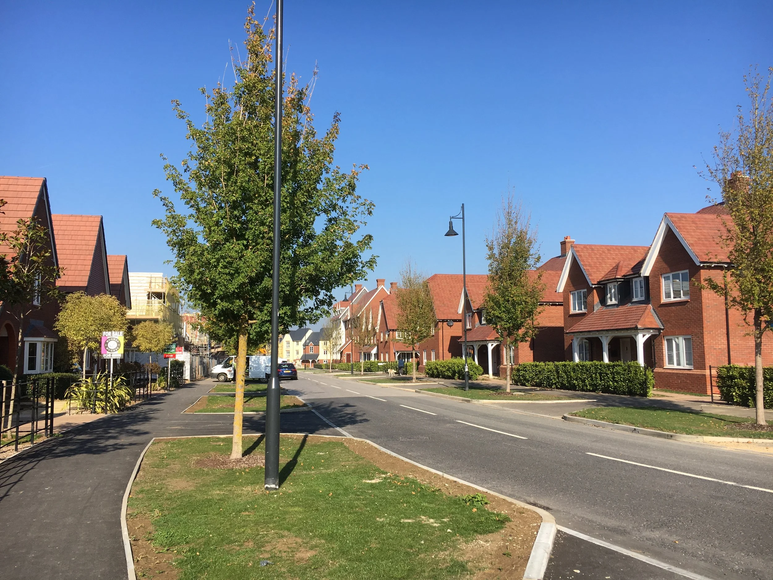
Retention of existing employment space
![]()
Over half the site will be dedicated to open, landscaped areas
![]()
Land for allotments
![]()
New and enhanced woodland planting
![]()
Wet pond and wetland habitat
![]()
A community orchard
![]()
A play area, alongside picnic and seating areas
![]()
Wildflower meadows
Framework Masterplan (click to enlarge)
The proposed application is an evolution of plans first proposed in 2022. Our plans have evolved to respond to feedback, including from consultees through the planning process. The changes to the proposals include:
![]()
The access to the south of the site is now only accessible by foot or bike, with the plans now including only one point of vehicular access
![]()
Cycleways on Sandpit Road and Oxford Road may be linked together to better support active travel
![]()
Proposed development has moved further back from the south east corner of the site, providing additional green space and landscaping
![]()
A greater emphasis on preserving the Public Rights of Way, through changes made to the primary street running through the site
![]()
Additional allotments for existing and future residents
![]()
Evolved drainage design incorporating a smaller western basin and using the eastern basin for water run off
![]()
Reduction in homes from 240 to up to 205

The need
When the previous application was submitted in 2022, the council had housing land supply of 4.6 years. As of January 2025, this has drastically declined, now standing at only 2.03 years, reflecting the urgent need for homes in the area.
The vision strives to provide a mix of different house types, whilst enhancing local services, and ensuring there is ample supporting infrastructure. Alongside this, it seeks to deliver meaningful green spaces to create welcoming places for all generations.
The proposals present an opportunity to help meet local housing needs on a site identified in the emerging Local Plan as a potential location for new homes.
Benefits
Positioned within walking distance of Calne’s amenities and transport links
Landscape-led layout to enhance biodiversity – over 9 hectares of the site will be green, open or landscaped space
New homes to meet the escalating need for housing
A connected, sustainable location, and a natural extension to the town
Access, highways and sustainable transport
The proposals would see the extension of the through-road currently under construction as part of the neighbouring Hills Group residential development. Vehicular access is proposed to the west off Oxford way, with no vehicular access from the south.
Promoting active travel via walking and cycling will be prioritised, focus on maintaining existing footpaths and public rights of way. Where this is not possible, footpaths will be diverted through the proposed open space.
Access Plan (click to enlarge)